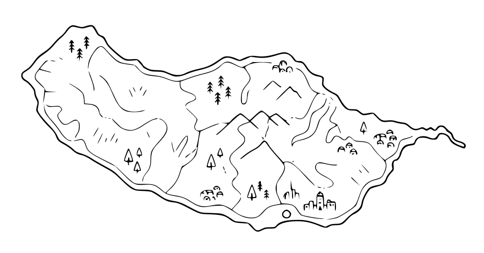
Levada walk · Ponta do Sol
Levada Nova & Levada do Moinho
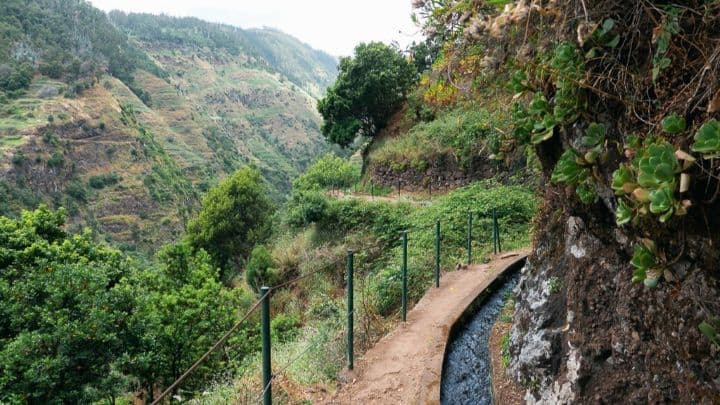
Levada Nova and Levada do Moinho form one of the most interesting walks in the Ponta do Sol area because they show two generations of Madeira’s irrigation system. The route follows an older levada lower on the hillside and a newer channel higher above it, passing cultivated terraces, small farms, waterfalls and open views towards the south coast.
History and character
Levadas are narrow, gravity-fed channels built to carry water from the wetter mountains and north-west of Madeira to farmland and settlements in drier areas. The first systems began to appear in the early centuries of Portuguese settlement, and by the second half of the 15th century levada water was already vital to sugar-cane production. Over time, the network supported vineyards, bananas, vegetables, fruit orchards, domestic water use and, in some places, water-powered mills. Building channels along steep cliffs required difficult manual work, including carved ledges, aqueducts and tunnels. In Ponta do Sol, Levada do Moinho is the older channel. It was built between the 1920s and 1930s and takes its name from the water mills that it supplied; the water was used both for irrigation and for grinding grain. Levada Nova was constructed later to bring more irrigation water to farmland between Ribeira da Caixa and Ribeira Brava. It opened in 1962 and runs higher on the slope, which is why hikers can combine the two channels into a varied circular walk.
Why visit
- Two parallel levadas that reveal different stages of Madeira’s water-management history
- Levada do Moinho, built in the 1920s and 1930s, named after the water mills supplied by its flow
- Levada Nova, opened in 1962 to increase irrigation for farmland between Ribeira da Caixa and Ribeira Brava
- A close view of cultivated terraces, vegetable plots, banana plants, vineyards and rural life around Ponta do Sol
- A waterfall section where the path passes directly behind falling water
- Old mill-related features that recall when flowing water powered local grain grinding
- A loop that combines the older lower channel with the newer upper levada
- A practical example of why levadas are both engineering works and the foundation of Madeira’s agricultural landscape
Practical tip
Start near Igreja da Lombada da Ponta do Sol and check the current trail condition before setting out. The route can be wet and slippery near the waterfall, while some sections are narrow and exposed. Wear shoes with good grip, take a light waterproof layer and torch, and do not block the levada channel: it remains part of an active water-supply system.